Today we left our “zone”, the portions of central Puget Sound in which we feel intimately familiar with every town, marina, and anchorage. We arrived in the San Juan islands, and while we’ve been here by boat almost a dozen times (and many other times by car), there are still lots of places in the islands we’ve never been. So now we feel like we’re “on vacation. We know: how do people who haven’t worked for 7+ years distinguish between “vacation” and “not vacation”? But we can, and do!
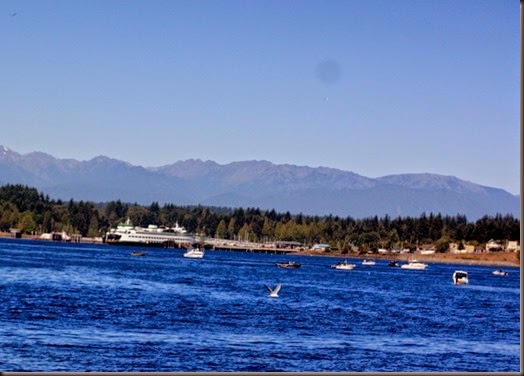
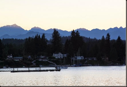
We left Keyport at 8am and went under the Agate Pass bridge at slack tide, then passed Kingston (above) where the combination of ferry traffic and lots of fisher-folks made for a very active passage. We used it as an opportunity to test our new radar and AIS. We were pleased our radar interpretation skills, which we hadn’t used for 18 months, were still pretty sharp. This made us feel better about heading toward the Broughton Islands where they talk about August being “Fogust”.
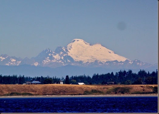
Mt. Baker towered over Whidbey Island.
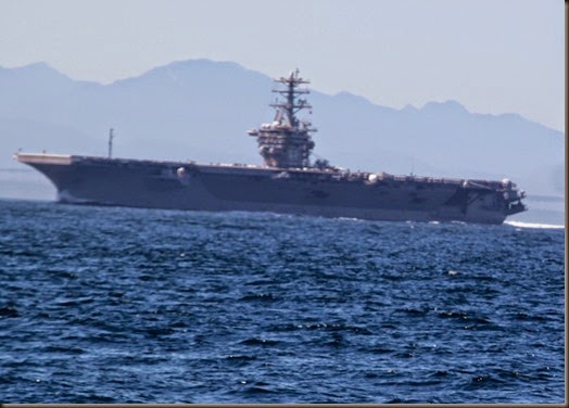
“War Ship 68” AKA the USS Nimitz, above. This mile-long ship spent more time than you’d think necessary calling on channel 16 on the VHF radio, trying to hail “the motor vessel off my starboard bow” trying to get them to get the hell out of the way! We never did hear the vessel respond and don’t know what happened in the end. We just know that ships like that move fast, stop and turn slowly, and we do everything we can to stay out of their way!
After 3-4’ seas all morning, just north of Port Townsend we entered the Strait of Juan de Fuca, a 21-mile crossing, to smooth seas all the way into Lopez Island and Fisherman’s Bay. Crossing the Strait is spectacular and anti-climactic in these conditions, and not at all fun in bad conditions, which we’ve only done twice.
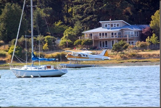
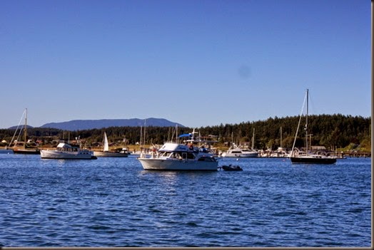
The anchorage in Fisherman’s Bay has almost 50 boats in it, both sail and power, small and large, though none too large as the water in the entry channel is so shallow that deep-draft boats stay away. We saw 2.5 feet under our hull on the depth sounder at one point! The anchorage is also shared with seaplanes landing and taking off.
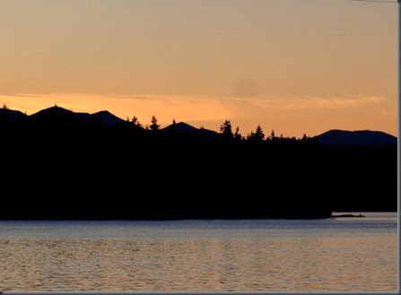
The view from on top of the aft cabin during cocktail hour was pretty unbeatable.
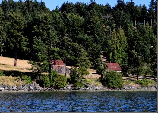
Lopez Island is dotted with some very attractive old buildings like the barn above. We grilled dinner aboard, showered while we still hat hot water from running all day, and look forward to sleeping well in this tranquil place.
