Tuesday, July 31, 2012

Mackinac Island

Days on cruise:  130

IMG_5864

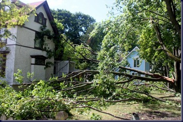
Last night’s storm was ferocious. Late in the evening it grew  dark earlier than usual, the rain fell in sheets, and lightning and thunder were continuous. We were pleased to be in a slip at a marina instead of at a remote anchorage. Today we saw further evidence of the havoc wreaked by the storm.

IMG_5891

This morning we caught a Shepler’s ferry from our marina at Mackinaw over to Mackinac Island. The water was calmer than during our trip on Next To Me through the Straits of Mackinaw yesterday.

IMG_5865

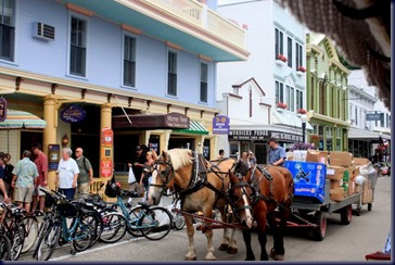
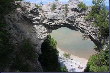
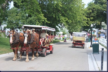
Mackinac Island, with 800 residents (500 people, 300 horses) takes you through a time warp to the late 1800s in many ways, and also offers the worst of over-crowded tourism in others. There are no motorized vehicles allowed on the island. All transport is by foot, bicycle or horse.

IMG_5946

We took our own bicycles on the ferry ($8.00) to avoid the $30  charge we’d have each incurred by renting bicycles.

IMG_5965

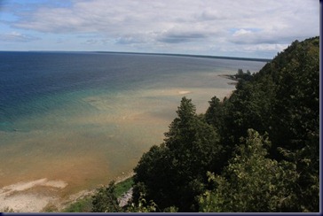
We began our tour by riding our bikes around the flat, paved road that circumnavigates the island. It was 8 miles, and the views were spectacular, the shoreline rimmed with water so clear and turquoise it looked like the Florida Keys, and the crowds bigger than expected. But it is the height of the peak summer season, which is short, so we were naïve to think it would be otherwise.

IMG_5892

IMG_5950

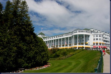
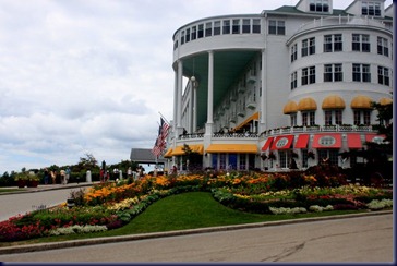
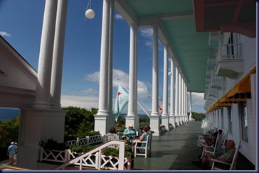
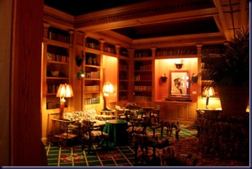
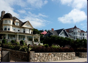
Next we parked the bikes and walked up to the Grand Hotel, a fabulous summer resort which opened in 1887. This beautiful spot on the bluff has the largest verandah in the world with almost 100 rocking chairs for relaxing and enjoying the view, boasts over 300 hotel rooms, each one unique, and serves a delicious buffet lunch from 12:00 – 2:00 each day, of which we partook, in the beautifully decorated, fancy dining room.

IMG_5903

IMG_5901

There are well-tended gardens, bocce ball, tennis and croquet courts, walking paths, a cupola, boutique shops on the main floor and lots more. It’s lovely!

IMG_5929

IMG_5963

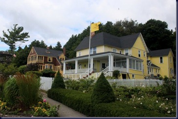
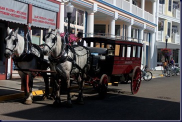
Next we took a carriage tour of the island. We’ve taken several such tours in the south-east part of the U.S., in places like St. Augustine, Beaufort, SC, Charleston and more, usually trolley tours. This one was interesting in that the carriages are pulled by horses, but was otherwise a little bit disappointing. Nonetheless, we saw a bit more of the island this way, and it’s a very scenic place.

IMG_5943


Shortly before the dinner hour we caught the ferry back to Mackinac City and our marina slip, tired and having enjoyed the day immensely. This was a more-than-worthwhile stop. If anything, we wonder if we should have stretched out our visit over two days instead of just one, as we were tired before the day was over.
IMG_5874

IMG_5878

Monday, July 30, 2012

Weeds + Mackinaw City, Not Mackinac Island

Days on cruise:  129

Distance traveled:  28.7 miles

Travel time:  3 hrs, 48 mins

Total trip odometer:  2,834

We started out slowly this morning, pulling the anchor  about 9:00 which afforded 4 hours to cover 20 miles to Mackinac Island.  Our plan was to pass through the winding channels of the Les Cheneaux Islands and view all the wooden Chris Craft vessels for which the area is famous.

IMG_5860

What we learned is that we should have done this tour in our dinghy instead of Next To Me.

P1010953

Given the very shallow water, we had to travel quite a bit offshore, so most of the boats were too far away to see well. We also found the shallow water had lots of milfoil, so we spent a fair amount of time stopping, reversing the engines to get the weeds off the props, then moving on.

P1010965

After leaving the Les Cheneaux Islands, we headed for our marina at Mackinac Island 15 miles away. The wind and waves came up and produced 3’ to 4’ seas which were not a problem, but neither were they fun.  When we were one mile off the marina and busy attaching dock lines and fenders, Bob pulled up the marina reservation on the Ipad and . . . .   discovered the reservation was for Mackinaw City Marina six miles further on.  Oops!

Interestingly the two different spellings are pronounced the same:  Mack-in-aw (just like the wool).

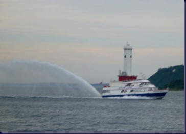
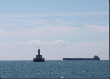
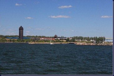
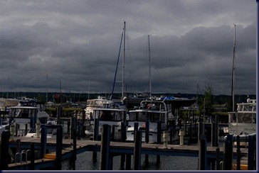
Mackinac Island is served by fast ferries from Mackinaw City, as shown in the photo. We’ll take one of these in the morning to visit the island.

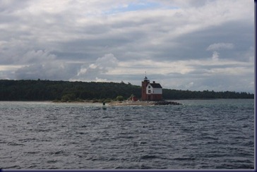
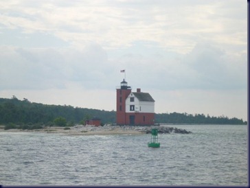
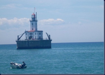
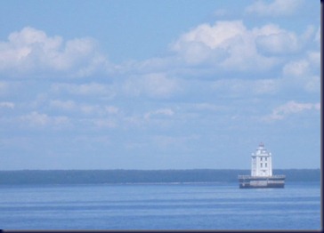
There are lots of attractive lighthouses here on Lake Huron and Lake Michigan.  As folks from the Northwest, we associate lighthouses with salt water, not lakes!

P1010970

We spent the afternoon walking around Mackinaw City. It’s a pleasant place, but mainly serves as a jumping off spot for those visiting Mackinac Island.

It’s now late Monday evening, after dinner, and we’re sitting on the sundeck with a glass of wine watching the lightning and listening to thunder and rain. Hopefully tomorrow’s forecast for sunshine will come to pass, as our plans for the day won’t be nearly so much fun in a thunderstorm.

Sunday, July 29, 2012

Blogger Problems

images

If you’ve been paying attention to some of the details, you may have noted we haven’t posted our location via SPOT message for the last few days. It’s not that we haven’t tried, but something seems to be going on with Google's Blogger.

images (1)

In the past, there was a way to post to the blog via email, so we included that secret email address as one of the locations to which our SPOT message went. Now that has stopped working. Bob even tried it as a direct email from his own email account, something which worked in the past, and found it doesn’t work anymore either. He did an internet search and the only “solution” he found was to include a # as part of the email address.  He tried that too – didn’t work.  Anybody have any ideas?

images (3)

In the meantime, Bob is being pretty good about keeping the map to the right updated with our destinations each night. The only shortcoming of this is that it requires an internet connection to update the map.  But that shouldn’t be a problem now that we’re back  in the United States.

Back in the USA: South-bound!

Days on cruise:   128

Miles Traveled: 78.4

Travel time:  8 hrs, 18 mins

Total trip odometer:  2,806 statute miles

After dilly-dallying around Canada for six weeks, traveling  far fewer daily and weekly miles, the last two days have begun to make up for our slackerly (is that a word?) ways. Yesterday in Blind River was our northern-most stop on the Great Loop, and today, for the first time, we’re headed south-bound for several thousand miles.

We were both awake before 6am, found the weather forecast remained favorable, and slipped our lines at 7:30 to head out into the big waters of Lake Huron.

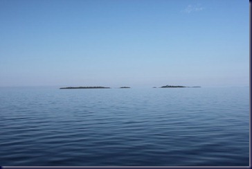
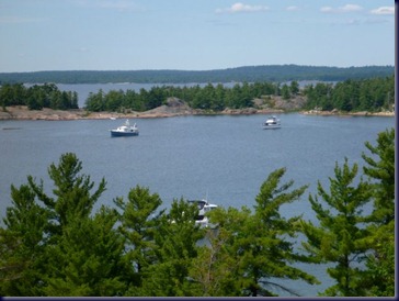
The view most of the day was . . . water! And more water.  And occasionally a small island or two, or a pile of rocks. But the sun was out, wind was light, and water was calm, so we surely won’t complain about the lack of stimulating views!

IMG_5852

When we left Blind River we planned to travel to De Tour Village.  At 42 miles, that would have been far enough for the day. But recalling there wasn’t a whole lot to recommend De Tour Village ,  and that tomorrow’s weather forecast is less favorable than today, we decided to continue on.

This is one of the last lighthouses we’ll see on Lake Huron.

IMG_5855


P1010941

And then this one, which may really be the last before we enter Lake Michigan tomorrow.

P1010945

After crossing the line back into the U.S. (woo hoo!) late in the day, we entered Les Cheneaux Islands, only 20-25 miles from tomorrow’s destination, and a place that is reported to be a haven for old wooden Chris Craft vessels.

IMG_5853

We’re anchored in Government Bay, a huge bay with room for zillions of boats, relatively shallow water and protected from big wind. It’s nowhere near as beautiful as Georgian Bay or the North Channel, but pretty and pleasant, if busy with lots of water skiers, jet skis, and fishermen in small boats. There are perhaps a dozen other boats anchored in the bay. Our friend Jim A (who we met in Marathon, in the Florida Keys last winter) suggested we’d enjoy a trip through here to ogle all the Chris Crafts!

So our Verizon cell phones are turned back on for use as a telephone, not just a texting device, our faithful Rogers wi-fi (which provided us with internet all but 4 nights in Canada) is turned off, and we immediately called our youngest daughter who we hadn’t talked with in a couple of weeks. Now if only we could watch the Olympics!  We have a TV on board, but no antenna or subscription to service, so we’re relegated to watching on the internet if we can figure out how. Life on the Loop remains good.

Saturday, July 28, 2012

Blind River, Ontario, Last Canadian Port

Days on cruise:  127

Distance traveled: 44.3 miles

Travel time:  4 hrs, 47 mins

Total trip odometer:  2,727 statute miles

We pulled our anchor early this morning, said good-bye to Stephen and Charlotte on Jackets II via VHF radio, and headed west.  It was sunny with light wind, and we were on a mission to get to Blind River.
At Little Detroit Channel, a narrow, shallow, blind corner, we had to make a Securite call on the VHF to alert any oncoming boats to our presence, but since we were following a large sailboat through, had no concerns.

P1010933

P1010935

IMG_5849

More granite islands, negotiating channels through shallow water and rocks, and gorgeous scenery. Finally after 4 hours we saw the village of Blind River in the distance.

IMG_5851

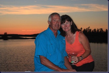
We pulled into the Municipal Marina, and two hours later our friends Gene and Joyce arrived at the boat. We first met Gene and Joyce two and a half years ago when they were traveling by RV on the mainland of Mexico, and we were doing the same, only on the Baja Peninsula in Mexico. Gene stumbled across our blog and sent us an email as we both had Arctic Fox fifth wheel trailers. We kept up an email correspondence and learned we would all be in Alaska that summer.
P1010940

So we first met them in person summer 2010 on the Kenai Peninsula. In 2011 they flew to Hawaii and had an overnight in Seattle on the way, so we spent a day together showing them our hometown.  This past January as we drove to Florida to start the Loop, they were in Yuma, Arizona, and we met for lunch.  We’ve never been to their home in Bozeman, Montana, and they’ve never been to our home in Olalla; we only meet on our travels! Three days ago we got an email from Gene saying they were on a road trip from New Hampshire to the Upper Peninsula of Michigan via the north shore of Lake Huron, wondering if we might meet somewhere?  Hence our trip to Blind River, and their trip to our boat and out to dinner together for a visit tonight. It was such a hoot! We gave them a boat tour, and as usual, we talked and talked for 5 hours about our mutual travels and adventures.  They are great folks, and we’re sure we’ll see them again, but no idea when or where.

The forecast tomorrow is for light winds and sunshine, followed by 4 days of possible rain and thunderstorms, so if the forecast doesn’t change, we may make a dash across Lake Huron tomorrow back to the United States, another 45-mile crossing during which we’ll be out of sight of land, so good weather is a pre-condition. Look for a SPOT message from the U.S.A. if the forecast holds.

Miles Going Nowhere + Jackets Reunion

Days on cruise:  126

Distance traveled:  2.5 miles

Travel time: 33 minutes

Total trip odometer:  2,683

We feel like a ping pong ball, moving from place to place but making no forward progress.  We slept so well  Thursday night we’ve no idea whether the forecasted high winds materialized, but we woke Friday to find the stern of our boat 20 feet from the sheer rock shoreline wall, so weren’t comfortable staying another night unless we could figure out what sorts of adjustments to make. Additionally we spent most of two days anchored at the Benjamin Islands, but didn’t get to explore much there because of the rain. So we moved back to the Benjamins.

After setting anchor, we called the marina where we plan to stay Saturday night to confirm their channel depth and make a reservation. Guess what? Their depth is only 3 feet!  Since we plan to meet friends there, we had to develop a Plan B and communicate it to them quickly.

Our friends are coming by car, and the next marina location is 50 miles away. Because the afternoon conditions at the moment were calm, we decided to make some headway toward the newly identified Saturday marina destination. We scrambled to pull our anchor and at the same time sent a text message to Looper friends on Jackets II who we knew were in nearby Little Current and with whom we’d been hoping to connect. They responded immediately:  “Will you wave as you go by?  We’ll arrive in the Benjamins in 30 minutes!”

Plan C: We would stay here with Jackets tonight and leave  early in the morning to meet our friends in Blind River.  The Best Of Both Worlds: Jackets II, PLUS Gene and Joyce!
P1010921

Jackets II is a 49’ Krogen Express, and Stephen and Charlotte are the first Loopers we met last January back in Fort Pierce, Florida while still doing boat prep. They started their Loop from Jacksonville three weeks later than we did, and we’ve only seen them in Norfolk, and then Solomons on the Chesapeake. We’ve missed them!
P1010922

We all dropped our dinghies and went for a hike up the so-called Ski Slope to see the view.

P1010924

Later Stephen and Charlotte came to our boat, bringing their planned dinner food and cocktail hour beverages.

IMG_5816

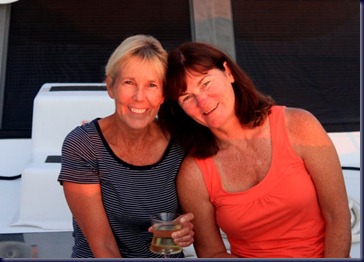
Aren’t they cute?

IMG_5837


IMG_5833


IMG_5812

It was great to have a reunion with Jackets II and we hope to catch up with each other again before crossing into the U.S. soon.

Thursday, July 26, 2012

North Benjamin Island, Croker Island, and Our First Stern Tie

Days on cruise:  125

Distance traveled:  0.6 miles  AND  2.7 miles

Travel time:  6 minutes  AND  31 minutes

Total trip odometer: 2,680 statute miles

P1010886

Thursday we woke after a blustery night which included lots of “hull slap”, wind-driven waves slapping against the boat’s hull in noisy, echoing fashion, to a grey, dizzly morning. It was  8am before it was actually bright out.  A number of boats departed over the course of the morning, so we decided to move to a somewhat more protected area to see if we could find a quieter anchorage for tonight.

P1010887

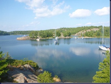
After moving to our new location, we dropped the dinghy and went exploring.  The Benjamin Islands are said to be one of the most beautiful spots in the North Channel.  We would have to say we agree.

P1010889-001

We returned to the boat early afternoon and listened to the VHF weather report again.  Bad news:  the forecast now called for 20 knot winds this evening from the east – right at us!  So we decided to move again, this time about 3 miles east to Croker Island, with a harbor that would afford protection from the east.

P1010903

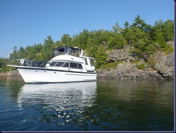
Croker Island Harbor is more protected, but unlike the Benjamin Island harbor, it’s deep, 25’ to 40’ right up to the shore.  Given the number of boats hiding out there from the weather, we decided we needed to stern tie: that is, drop the anchor in deep water , then back up near the shore and tie a line to a tree to keep us from swinging in a large circle and potentially interfering with other boats.

P1010893

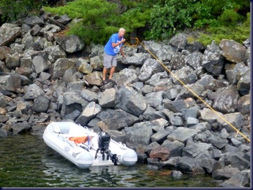
Bob took the first stern line to shore and tied it to a tree. After getting back to the boat we decided to check our anchoring book to see if we had missed anything.  The book suggested that TWO stern lines were better than one!

P1010900

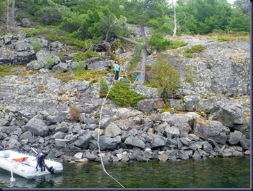
So above is Cathryn taking the second line to  shore. Our anchoring book doesn’t have a lot of detail on this technique, so if any of our readers have suggestions, please fire away.

P1010905

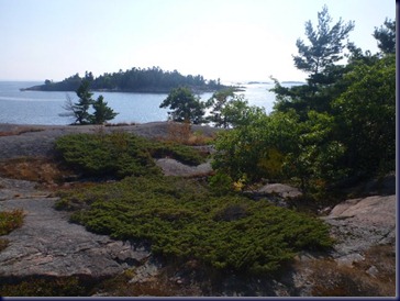
As the afternoon wore on the sun finally emerged, so we took the dinghy across the harbor and climbed a hill to enjoy the view . . . .

P1010906

. . . . which was spectacular.  We’ll report tomorrow on how our first stern ties survives the night.  Although the wind is still no more more then 6-8 knots at 9pm, the forecast continues to predict 20 knots before dawn.

P1010914

Wednesday, July 25, 2012

Grey Day In the Benjamin Islands

Days on cruise:  124

Distance traveled:  15.4 miles

Travel time:  1 hr, 45 mins

Total trip odometer: 2,677 statute miles

We left Kagawong for another short trip, back across the North Channel to the northern shore. The forecast was for things to get dicey in the afternoon, so we hoped to beat the weather. We still saw 3-foot waves and wallowed on one tack as they were on the beam, but overall the trip was uneventful.

We’re anchored between North and South Benjamin Islands along with half a dozen sailboats and one other trawler. That one is a Looper, but one we’ve not met before. This afternoon the forecasted rain appeared on schedule, so we’re hanging out on the boat and  and aren’t going to drop our dinghy in the rain and go introduce ourselves to the neighbors. Perhaps tomorrow?

Unexpectedly considering how remote this location is, we have a 4G cell signal, so Cathryn was able to make phone calls on Skype to her parents and friends Jim and Phebe.

IMG_5791

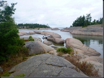
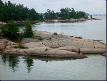
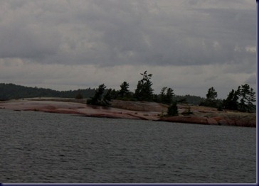
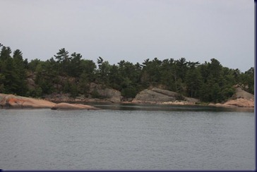
The terrain here looks a bit more like Georgian Bay, with lower lying rock islands and fewer trees, instead of the heavily treed higher cliffs that have predominated the North Channel so far.

IMG_5787

Despite the rain and grey sky, it’s pretty here.

IMG_5792

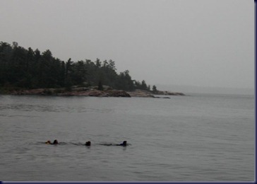
Are those seals in the photo below, or what?  Nope.  A family of four people plus a dog are on a nearby 42-foot sailboat, and late this afternoon they jumped in the water and swam to the adjacent sailboat 150 feet away. Wisely, all wore life vests. The kids are 8 and 12.

IMG_5794

Bob grilled steaks and potatoes on the barbecue, in the rain, and Cathryn threw together a salad, making for a nice dinner on the sundeck.

IMG_5789

The forecast high wind warning has not developed here so far, and we’re hopeful we’ll be able to drop the dinghy and go exploring tomorrow.